Introduction to Charts
Introduction to Charts
Thanks to all those who joined us in our Online Chart Chat last week. We hope it inspired you to get those Charts out to check them out before the new season starts. This was part of our Tuesday Training Night Talks and aimed as an introduction to charts.
I have included links below that we discussed during the chat in case you weren’t able to write them down.
Why do we need charts? Why not just rely on electronic devices?
Paper charts still have a valuable part to play in our boating. What happens when batteries or memory cards fail? The route on your device appears to take you straight across land? Or you fail to notice something because you have not applied the correct layers? It is important to have an understanding of using paper charts. A paper chart will also give you a greater overall view of your journey and allows you to se the bigger picture. Does that mean we shouldn’t use electronic devices? Not at all, of course we use them but they are an aid to navigation.
What different charts are there?
Locally for us the main options are Admiralty or Imray charts. In other parts of the Country you may have additional options more suited to local conditions. Admiralty Chart are published by the UK Hydrographic Office and you will find them in use on most Commercial Vessels. For our leisure boat users locally we usually suggest using Imray Charts. Those heading further afield may look at the Admiralty or Imray Leisure Folios.
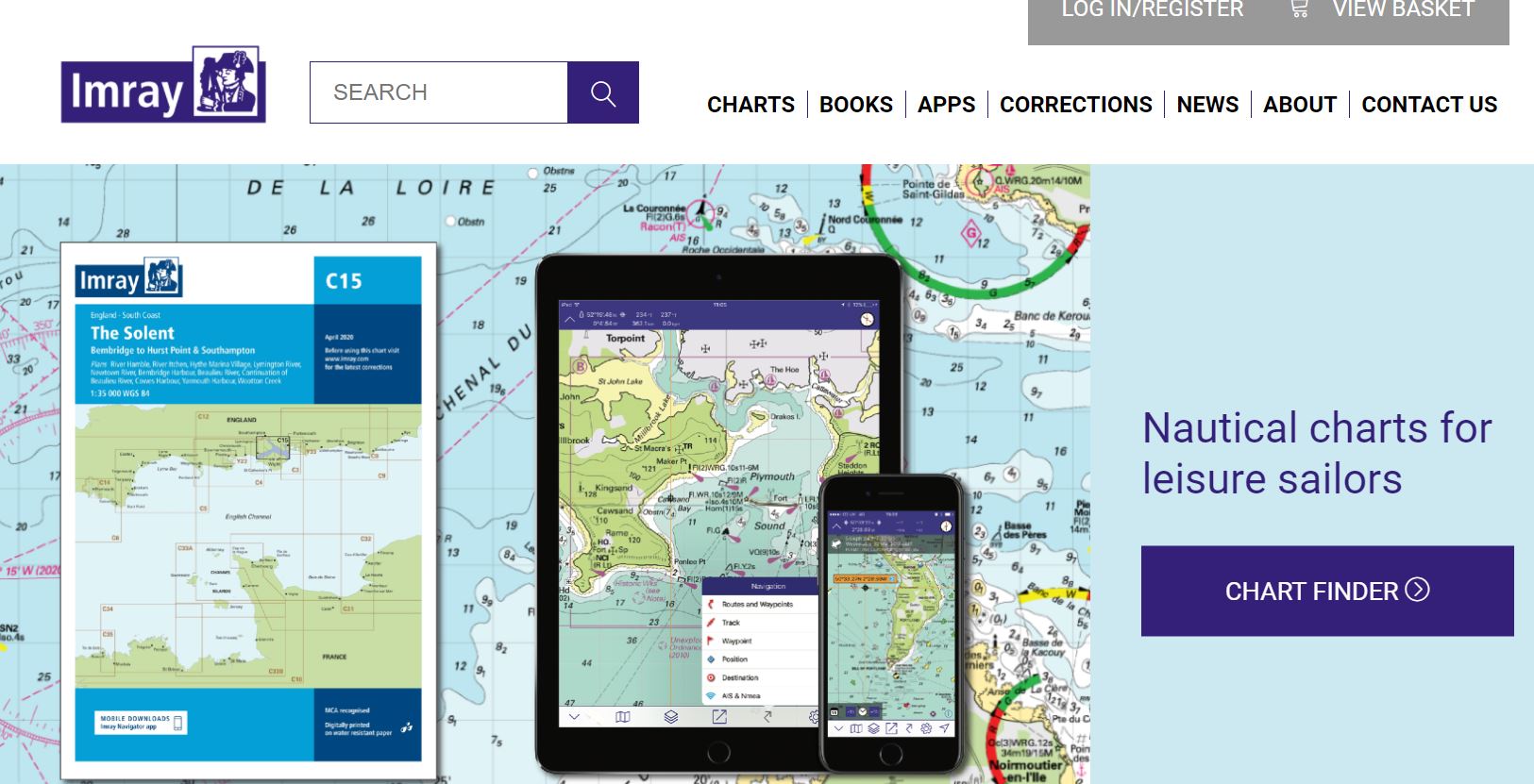
We generally use Imray Charts ourselves for local training. These are user friendly, covering the areas of most interest to us and individual charts can be purchase for localised boating. They also have an innovative approach to incorporating digital products to complement the paper charts. They have the ability to incorporate changes very quickly and act on feedback from local boaters. Imray charts come with a convenient Key to Symbols which can be particularly useful if you’re not sure what a purple zigzag line means, for example, on the chart. We will focus on Imray charts in this blog. Their webpage describes the features of their charts https://www.imray.com/charts/
What is the main difference between an Imray Chart and an Admiralty Chart?
The most obvious difference is the colours. Imray work on a user friendly scheme that Green is land and Yellow is drying areas (a bit like a beach would be). The colours are reversed on an Admiralty Chart. You will usually receive a key or guide to symbols on an Imray Chart. On an Admiralty you may need to refer to publication 5011 for guidance unless using a folio pack.
Staying up to Date:
It is important to keep charts up to date. The version will be printed on the chart both on the front cover and at the bottom of the chart itself. The seabed, hazards and facilities will change over time so it is important to stay up to date. In between chart reprints, we can access chart corrections on the websites. Imray corrections can be accessed here – Imray Chart Corrections . Admiralty corrections here – Admiralty Notices to Mariners
What are we looking at on charts? Do I need to be an expert navigator to use one?
Quite simply a chart is basically a map for water users. They are suitable for all and should be looked at before you go afloat on the sea. They can of course be used in depth for those navigating distances, working out courses to steer and planning extended passages. However, even if only boating in a Harbour they provide lots of useful information.
Charts can be used to:
- navigate a route working out a basic plan as to where we want to go
- work out distances for a trip
- Identify the channels to follow and which compass bearings to use
- in conjunction with a tide table to work out depths of water
- Show where can we go and at what times
- identify safe places to stop at anchor, safe havens or sheltered spots
- show the seabed so we can determine whether our anchor will hold
- check the buoyage we will see on route to help us stay in channels
- spot hazards marked by buoyage such as isolated danger marks
- identify where we can get fuel from, use pump out stations or where slipways are located
- work out whether we can get under bridges at all states on tides.
- work out variation on our compass
- understand speed limits and local regulations such as priority for a chain ferry
- give us communication channels such as VHF for local harbour masters or marinas
- help us identify overfalls or areas of known rough water
- see tidal streams – which direction will the water flow at different states of tide
- identify areas for different watersports – for example ‘jetski’, kitesurfing or waterski areas
- show where commercial shipping is to be found and allow us to stay clear
- identify your exact location using latitude and longitude
Charts have lots of uses and the more you look the more useful features you will find. It is not uncommon for someone on a course to ask about something we have perhaps not seen before on a particular chart. The chart will state which datum it is using for safe use with GPS navigation systems.
We all have to start somewhere with charts and the first step is buying a chart and pouring over it at home. If you’re not sure what you are seeing take a look at the Essential Navigation course or drop us a message to discuss bespoke training.
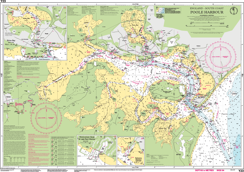
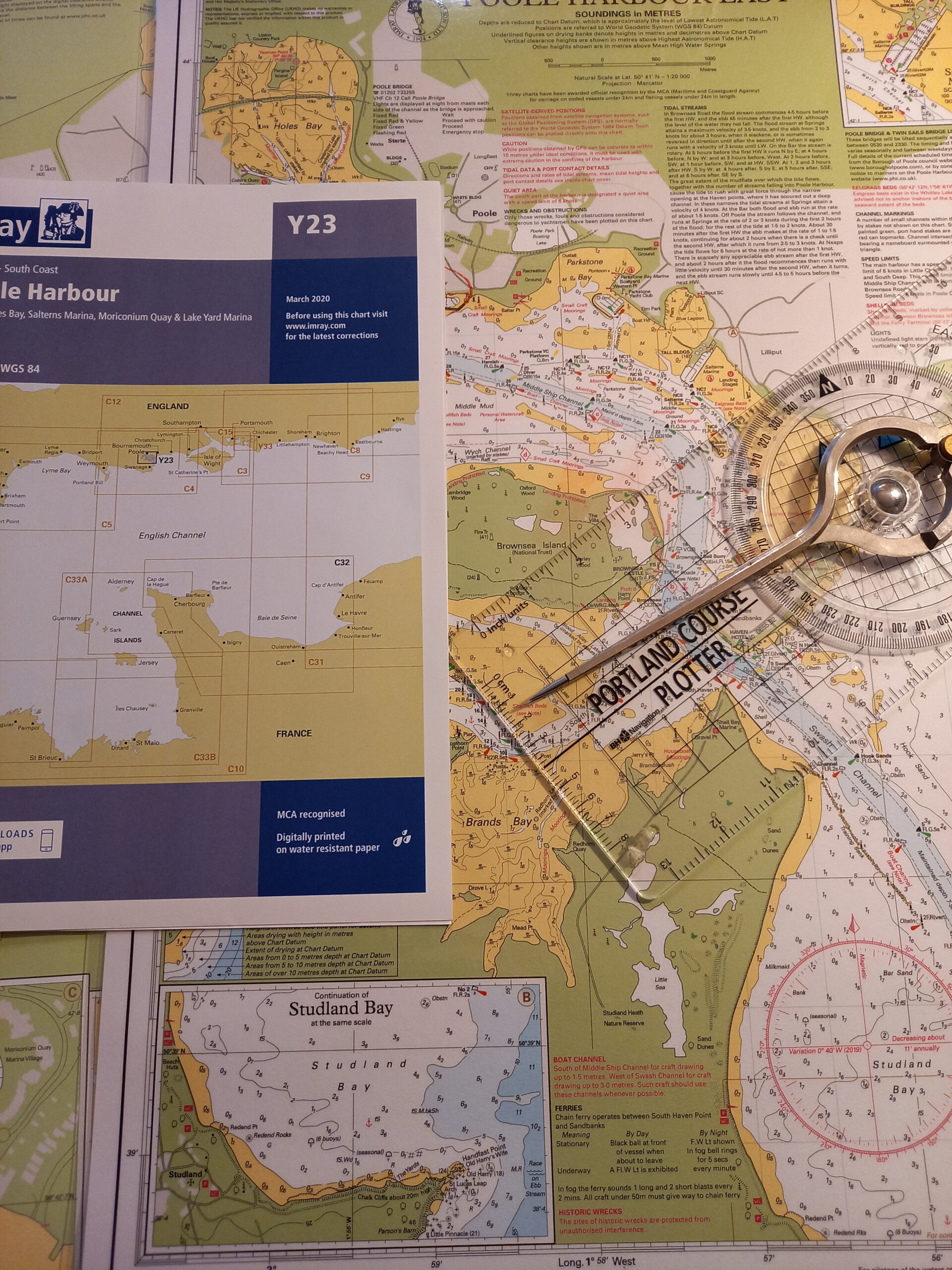
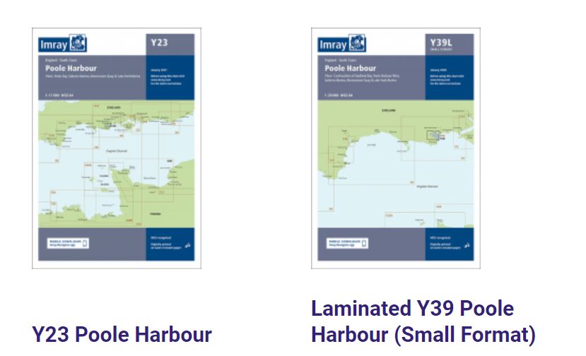
Which chart do I need for Poole?
Most local boaters should consider the Imray Y23 chart or Y39 chart depending on where you will be using the chart (on the boat or at home). The Y23 is larger scale so easier to get a wider view. The Y39 is convenient for the boat and contains an inset to Studland Bay where many local boaters visit.
If you are travelling to the Solent as a more advanced boater then either an Imray C4 or a folio pack.
We carry a stock of local charts at our classrooms for immediate use or they can be purchased online from the manufacturers or at local chandlers.
Electronic Navigation vs Paper Charts
The paper charts allow you to take an overall, expanded view of an area.
They ensure you are not missing layers by zooming in or out too far.
It may be clearer to see the date of publication on a paper chart. When was the last time you updated your charts on a plotter?
Paper charts don’t suffer from power loss or battery failure. On the other hand, may not be as easy to consult on a wet open boat!
What electronic navigation is there to supplement paper charts?
We will cover this in detail in a future blog but broadly speaking we are talking about chart plotters on your boat, portable GPS units and phone apps. For now you may wish to start to explore the apps such as Imray Navigator, Navionics or Savvy Navvy. Most of these have a chart viewer you can start to look at online for free. One can notice how detail is lost as you zoom in and out at scale.
You will notice when you load these that they all carry a warning that they should not be relied on as your sole means of navigation. As helpful as they are, you must understand the limitations of such apps. There is no shortcut to a study of basic navigation.
Complementary apps to support the charts
Imray have apps available to support your understanding of charts. At the moment these seem to only be available for Apple users. https://www.imray.com/navigation-apps/
Summary:
We of course use electronic devices and plotters for navigation. However, the use of paper charts complements chart plotters. It is a way of double checking and cross referencing. A way to take a wider view and ensure that we haven’t lost detail on a plotter. Now is the time to buy a chart of your local boating area and start studying it. Contact us with any queries as you look at the charts.